EO:EUM:DAT:MSG:MSG15-RSS
 Rapid Scan High Rate SEVIRI Level 1.5 Image Data - MSG
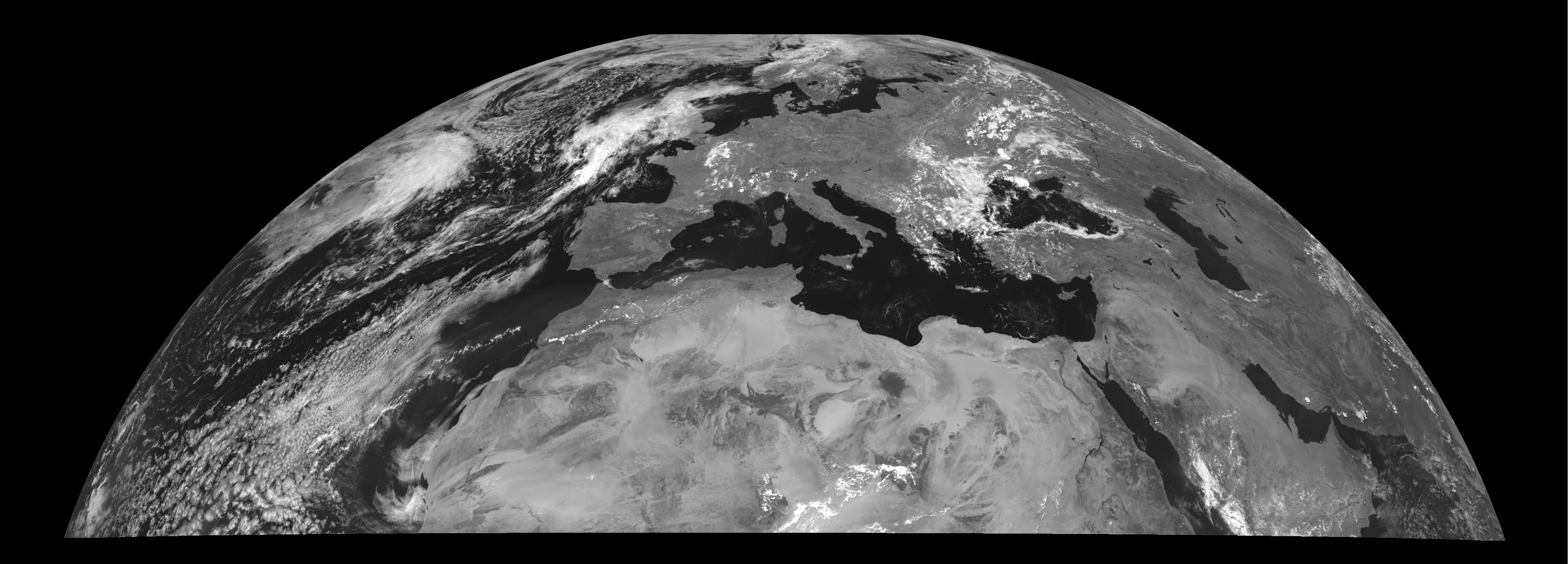
Rectified (level 1.5) Meteosat SEVIRI Rapid Scan image data. The baseline scan region
is a reduced area of the top 1/3 of a nominal repeat cycle, covering a latitude range
from approximately 15 degrees to 70 degrees. The service generates repeat cycles at
5-minute intervals (the same as currently used for weather radars). The dissemination
of RSS data is similar to the normal dissemination, with image segments based on 464
lines and compatible with the full disk level 1.5 data scans. Epilogue and prologue
(L1.5 Header and L1.5 Trailer) have the same structure. Calibration is as in Full
Earth Scan. Image rectification is to 9.5 degreesE. The scans start at 00:00, 00:05,
00:10, 00:15 ... etc. (5 min scan). The differences from the nominal Full Earth scan
are that for channels 1 - 11, only segments 6 - 8 are disseminated and for the High
Resolution Visible Channel only segments 16 - 24 are disseminated. A selection of
single channel data are visualised in our EUMETView service.
Satellite: MSG
Instrument: SEVIRI
Temporal Extent: 2008-05-06 -
now
Orbit Type: GEO
Data Policy: NRTLicense, GeneralLicense
Browse productsShow this collection's OpenSearch Description Document
