
EO:EUM:DAT:MSG:CTH
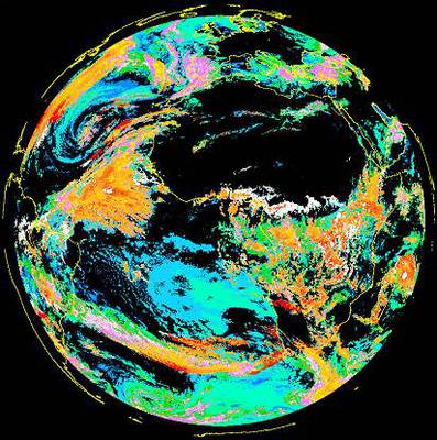 Cloud Top Height - MSG - 0 degreeThe product indicates the height of highest cloud. Based on a subset of the information
derived during Scenes and Cloud Analysis, but also makes use of other external meteorological
data. Applications and Users: Aviation meteorology.
Satellite: MSG
Instrument: SEVIRI
Temporal Extent: 2005-06-21 -
now
Orbit Type: GEO
Data Policy: NoConditions
Browse productsShow this collection's OpenSearch Description Document
Cloud Top Height - MSG - 0 degreeThe product indicates the height of highest cloud. Based on a subset of the information
derived during Scenes and Cloud Analysis, but also makes use of other external meteorological
data. Applications and Users: Aviation meteorology.
Satellite: MSG
Instrument: SEVIRI
Temporal Extent: 2005-06-21 -
now
Orbit Type: GEO
Data Policy: NoConditions
Browse productsShow this collection's OpenSearch Description Document