EO:EUM:DAT:1074
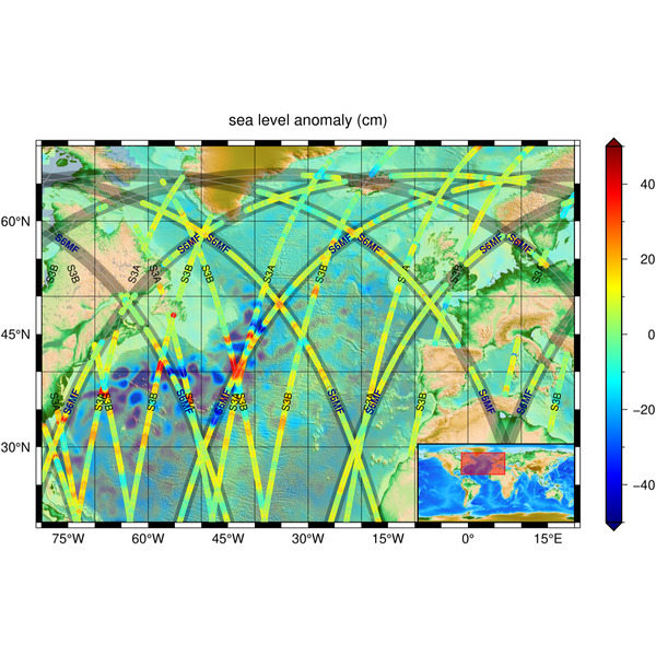 Poseidon-4 Altimetry Level 2 Low Resolution (baseline version G01) - Sentinel-6 -
Reprocessed
Poseidon-4 Altimetry Level 2 Low Resolution (baseline version G01) - Sentinel-6 -
ReprocessedThis is a reprocessed dataset at baseline G01, which is continued by the NTC data
stream from 20 April 2025 onwards. The level 2 low resolution products contains the
altimeter range, the sea surface height, the wind speed, significant wave height and
all required geophysical corrections and related flags derived from LR. Two measurement
data files are available (standard and reduced), each with a different number of variables.
The standard data file includes 1 Hz and 20 Hz measurements for the Ku- and C-bands
as well as geophysical corrections at 1 Hz and some at 20 Hz. The reduced data file
contains only 1 Hz measurements for the Ku- and C-bands as well as geophysical corrections
at 1 Hz. These products are suitable for users seeking information on sea state and
those creating downstream added value products from multiple altimeters. Sentinel-6
is part of a series of Sentinel satellites, under the umbrella of the EU Copernicus
programme. It is a collaborative Copernicus mission, implemented and co-funded by
the European Commission, ESA, EUMETSAT and the USA, through NASA and the National
Oceanic and Atmospheric Administration (NOAA).
Satellite: Sentinel-6
Instrument: Poseidon-4
Temporal Extent: 2020-12-17 -
2025-04-20
Orbit Type: LEO
Data Policy: Copernicus
Browse productsShow this collection's OpenSearch Description Document
