EO:EUM:DAT:0662
 FCI Level 1c Normal Resolution Image Data - MTG - 0 degree
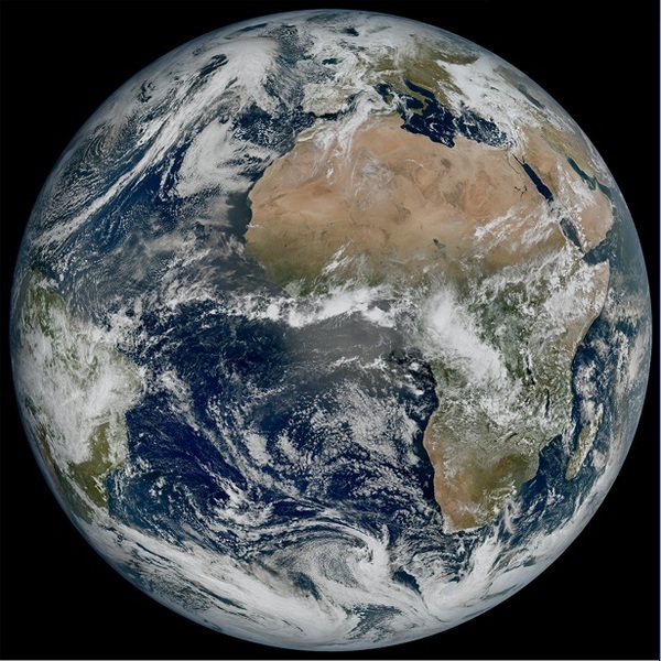
The rectified (Level 1c) Meteosat FCI full disc image data in normal spatial (FDHSI)
resolution. The FCI instrument consists of 16 imaging spectral channels ranging from
0.4 µm to 13.3 µm with the channel at 3.8 µm having an extended dynamic range dedicated
to fire monitoring. The spatial resolution is 1km for visible and near-infrared channels
and 2 km for infrared channels.
FCI Level 1c rectified radiance dataset consists of a set of files that contain the
level 1c science data rectified to a reference grid together with the auxiliary data
associated with the processing configuration and the quality assessment of the dataset.
Satellite: MTG
Instrument: FCI
Temporal Extent: 2024-09-24 -
now
Orbit Type: GEO
Data Policy: NRTLicense, GeneralLicense
Browse productsShow this collection's OpenSearch Description Document
